Today
76 °F
Mostly SunnyTonight
49 °F
Mostly ClearWednesday
80 °F
AM Patchy Fog, Partly SunnyWednesday Night
58 °F
Partly CloudyIssued: 12am on Thursday, January 1st 1970
Forecast Discussion
High pressure will begin to slide east into the region and maintain these drier and mostly clear conditions for Tuesday through Wednesday. Additionally, as the recently passing disturbance progresses further east of Ohio, fairly downstream ridging and north westerly flow will influence cooler and pleasant temperatures for today. Highs into the upper 70s for this afternoon will feel ‘Fall-like’ as Wednesday will experience a gradual increase near 80. This high pressure will begin to dip south of the region late Wednesday as winds shift southerly with clouds beginning to thicken. A NW’ly cold front will encroach on SE Ohio early Thursday morning and seek its passage southeast of the area by early afternoon (1pm-3pm). Fairly limited in moisture, any precipitation along this front will be light and fairly reduced. Once again, with its passage brief higher pressure and northerly flow will keep the remainder of Thursday and Thursday night cool and dry… A steadily increase to the temperatures will begin Friday and through the weekend as yet another unseasonable warming trend sets in.
Detailed Forecast
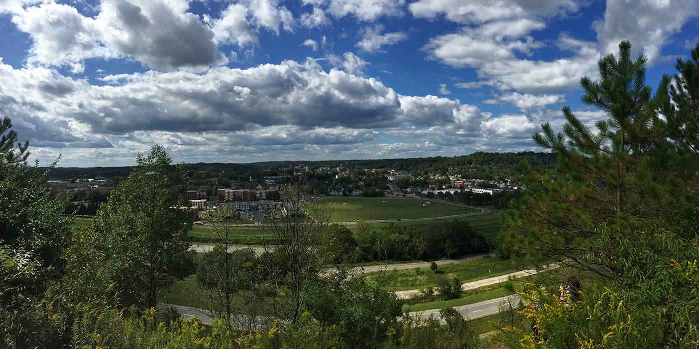
Today it will be mostly sunny with no precipitation. Winds from the N at 0 to 5 mph. High 76°F
Tonight it will be mostly clear with no precipitation. Winds Variable calm. Low 49°F
Wednesday it will be mostly sunny with no precipitation. Winds Variable calm. High 80°F
Wednesday Night it will be partly cloudy with no precipitation. Winds Variable calm. Low 58°F
Extended Forecast
Thursday it will be partly cloudy with a 20% chance of rain showers. High near 79°F with a low near 50°F
Friday it will be mostly sunny with a 10% chance of showers and thunderstorms. High near 82°F with a low near 63°F
Saturday it will be partly cloudy with a 20% chance of showers and thunderstorms. High near 86°F with a low near 64°F